The Baynes Sound: Signs of Life, Signs of Change project is a research knowledge mobilization project funded by MEOPAR (Marine Environmental Observation, Prediction and Response network). The goal of the project is to share marine research happening in Baynes Sound through educational signage, web materials, school programs, and a display at the Deep Bay Marine Field Station. Find all the signs using the map below and follow the links to explore all 8 project themes.



What is Baynes Sound?
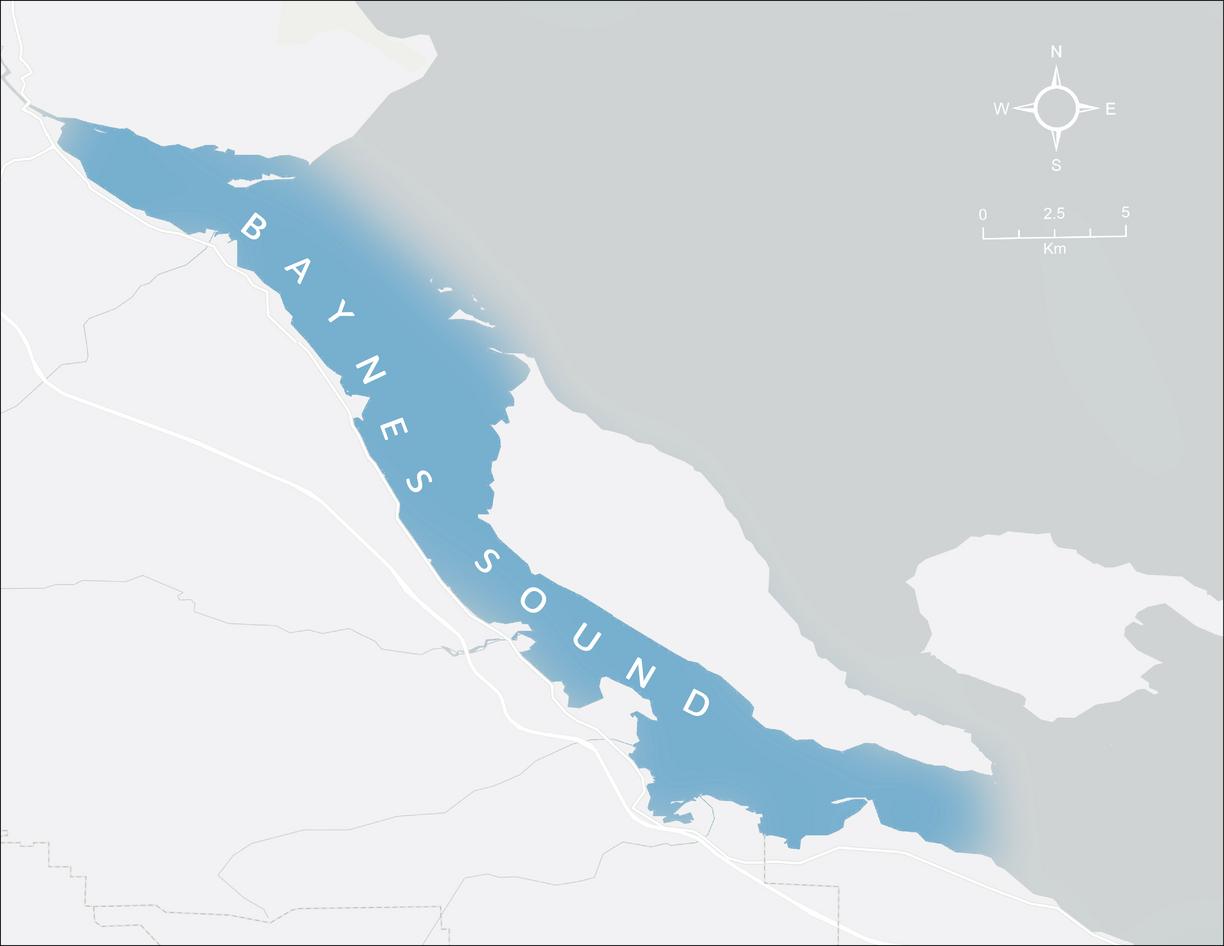
Baynes Sound is the area between Denman Island and Vancouver Island. The sound is 40 km long and 3.5 km wide at its widest point. The southern boundary lies around Chrome Island, a small island off Boyle Point, the southern tip of Denman. For this project, we are considering the northern boundary between Tree Island at the northern end of Denman and Comox harbour.
About the logo


The Baynes Sound — Signs of Life, Signs of Change logo was designed by Jessie Recalma.
Project partners